The City of Gardner website, CLICK HERE, provides ongoing information about Gardner’s infrastructure. Water, sewer, roads etc. are handled by the DPW
On July 17, 2025, Gardner Mayor Nicholson spoke in detail about roads and paving in the Chair City of Gardner MA.
Question: Today we have the honor of speaking with Gardner Mayor Michael Nicholson and today’s topic is roads and paving. Mayor Nicholson, some refer to you as the number one paving mayor. Some say it’s not his fault, it’s the asphalt, and then there are others out there who don’t get their streets paved as fast as they want and they do a lot of complaining and a lot of pissing and moaning. So what are the actual facts since you took over as mayor in July 2020?
Answer: You know, paving is something that we are always looking to see how we can do more of. In the last five years, we’ve paved over 25% of the city’s roads. We have 100 miles of road here in Gardner. We’ve paved 27 miles of those since I’ve been mayor and I’m really proud of that. However, I do understand the frustrations people have that when they hear, oh, we’ve done all this paving, well, you still haven’t paved my street. The cost of paving a mile of road right now is around a million and a half per mile of road and that’s everything from the police detail to the asphalt to the construction crews and everything in between. So that’s something that really does make it so that we have to prioritize what we pave and where we can afford and where we can pay and how we have to allocate those funds each and every year. However, to make sure that we continue to stay where we need to be, aside from our annual Chapter 90 allotment that we receive from the state and that’s the funding that we receive from the state to help us with paving and infrastructure improvements, I’ve always put up a free cash order of about 15% of certified free cash to the city council to do that to supplement the paving funds that we receive from the state through Chapter 90. That’s 5% more than what the city’s financial policies say of 10% just to make sure that we can catch up and do as much as we can in each given year with what we have.
Question: So, if the city’s financial policy is 10%, that means you’re allocating 50% more dollars than were done previously?
Answer: Yes.
Question: All right. Now, how do you prioritize roads?
Answer: The road priority system that we have is a formula that our DPW Director, Dane Arnold, set up a couple years ago where we have people go through and check on the conditions of each road in the city every spring because we know that if, you know, the potholes are going to form, spring is likely when they’re going to be forming the most. So we have them check and then it’s a formula that includes the length and width of the road, the number of houses and residences that live on that road, the number of businesses on that road, and the number of average cars who drive down that road. So our more heavily populated, traveled, and more manageably sized roads do get higher priority on our list because they have the biggest impact when it comes to day-to-day travel in the City of Gardner compared to a road that may be smaller with only one or two houses on it and really only has a car here and there. So that’s how we have the formula that we use that all goes into this big spreadsheet and determines our priority listing for our pavement priority list.
Question: Now, you had a road in the city that was literally eaten the pavement budget and the road happened to be named Eaton Street. So what out-of-the-box solution did DPW have to kind of end that problem once and for all?
Answer: We redid the road. Honestly, we had to look at that because we had repaved Eaton Street not that long ago and it shouldn’t have been as bad as it was. But what we found was, you know, in the studies that we did and looking at the engineering of that road, the number of trees on either side of that street were causing the soil to shift underneath. As the roots under the ground would move and shift the soil, so too would the soil shift and compromise the foundation of that road. So we went and we did some tree removal in that area and did it in a way that would have the least impact on the road once it was repaved and that road is holding up pretty good now too.
Question: Recently Gardner got the Uptown Rotary to make things safer, but DPW Director Dane Arnold sometimes has some out-of-the-box thinking of his own and there was a situation where an intersection was rehabilitated near Heywood Hospital. Tell us about that and how that made Gardner safer.
Answer: Yeah, there are some times, a lot of times people think that when we put in those new bump-out islands like you saw over at Heywood Hospital at the intersection of Green and Woodland Avenue, that we do it to cut back on paving costs or that we do it because of plowing and things like that. Where that can be the case in some cases, but most cases it’s to slow people down and try to take the intersections that we have the largest number of accidents in and find ways to make them safer for people and make it so that you’re forced to slow down so you take those turns out of just genuine safety, especially when you’re around the hospital in that busy area there. It’s one of the reasons why working with our city engineer Rob Oliva, the city was able to get a Safe Streets for All grant from the federal government that’s meant to do what’s called a Vision Zero Plan. What a Vision Zero Plan is is we look at every intersection in the city, determine if there’s been any accidents, any issues, any things like that, and work towards improving every intersection to make it as safe as possible to make sure that we’re doing everything we can to preemptively prevent any accidents that could happen. When you look at things like the bump out over at Woodland Avenue by Haywood Hospital, when you look at things like the Uptown Rotary that the state worked on in some cases, or even if you look at the intersection of Pearl Street and Betty Spring Road that used to have a larger turn radius and now it’s got the same type of a bump out that you see over at Woodland Avenue, it’s meant to increase safety for people there by slowing cars down so they’re not speeding around those corners.
Question: Out of the box thinking is something Gardner is becoming famous for. What about potholes and what has Gardner done with respect to potholes as far as some of the unique mechanisms that are in place?
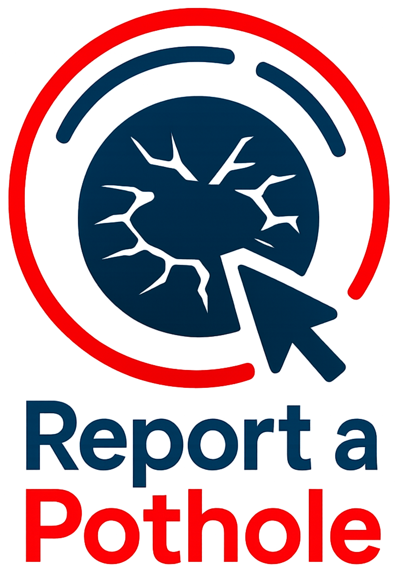
Answer: Well, there’s a couple things with that. First of all, we want anyone who sees a pothole to know that we do still have a radio button on the front page of the city’s website that says report a pothole. If you click on that and you fill out that form that’s there, it sends an email immediately to the DPW, both the director and the foreman in charge of overseeing the roads and the highway division, and it lets them know that there’s a pothole out there. If we don’t know that one is there, we can’t fix it, so we want to make sure people know that you can always report one that way and that’s a 24-7 service that we have available on the city’s website. Additionally, we have what’s called a hotbox in the city’s fleet, and what that is is as we dig up streets, as we do different infrastructure projects, as we pave, we actually save the asphalt that we dig up, and it goes into this piece of equipment and it actually gets remelted down and then put into the potholes there, so we’re actually recycling the asphalt that we’re digging up to help fill the potholes until we’re able to pave the road fully again.
Question: Going back to the Uptown Rotary Project for a second, what actually led to Gardner getting the state to do that?
Answer: So there’s a project called the State Traffic Improvement Program, or some people at the federal level will call it the STIP, and what that is is a grant program for infrastructure projects that the city submits to the Regional Planning Commission, saying that this is a priority for the city. The city agrees to pay for the design of the project and the state pays for the construction of it, and that is, you know, the state oversees the full process from start to finish with how the design process goes. They have check-ins at 25% design, 50% design, 75% design, full design, and then the state will do the full construction after that, and it has to meet all of the state parameters that are there. So it actually went through that process, it was actually first submitted for the Traffic Improvement Program’s listing back probably in the 2020-2021 timeframe, and then went through everything before the construction was actually done. So there’s a lot of work that went on behind the scenes for that.
Question: One of the things you like to do as mayor is reduce costs for the taxpayers as much as you can. So how did Route 140 come into play with respect to that?
Answer: Route 140, you know, looking at the layout of Route 140, the State Department of Transportation controlled and had the full maintenance, management, upkeep, plowing responsibilities for 140 until Green Street, and then 140 after the Winchendon border, but for some reason that small strip of 140 between Winchendon and Green Street was under the city’s control. So talking to MassDOT, they agreed to take that back over, so I presented that to the City Council and they approved of the transfer of the custodianship of Route 140, so now that’s fully under the state’s care. Not only does that make it so that the city is not financially liable for all of that, but it also makes it so that it has a better quality of care, too, so you’re not stopping and starting and stopping and starting at various different points.
Question: And Mayor Nicholson, what’s your plan for future paving in Gardner?
Answer: That, you know, we are looking at the list, you know, Stephanie Drive just got its base coat done, it’s going to have its final coat put in a couple years ago. That road actually had to be fully dug up and reclaimed, so we started it and just dug everything back up and went from the dirt back up. Cross Street is set to be paved within the next couple weeks, that’ll be milled and paved. The Crystal Lake Drive leading into Crystal Lake Cemetery and our new bike trail was also recently paved, there’s a second coat of pavement going on to that soon. And then there’s some other streets that we’re currently looking at right now, and that’ll depend on when we get information regarding the Chapter 90 program from the state.
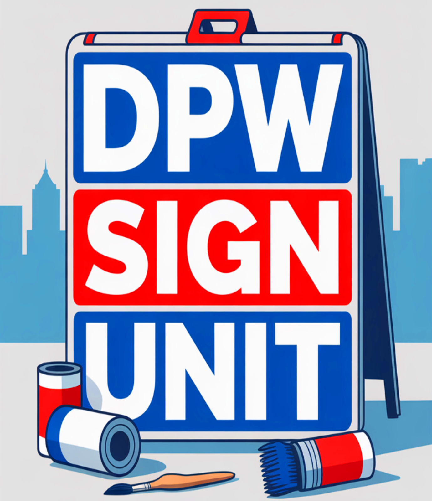
From a 2023 interview: Explaining how the DPW makes its own signs
Question: Now let’s talk about wayfinding focus. When you come to a city, large or small, you like to find your way around. Can you explain Gardner’s accomplishments in wayfinding, signage and more, and what can be expected down the road?
Answer: You know, one of the things that I think we’ve been the most successful with was bringing our own line and signs department into a unit of the DPW. That way we can do a lot more in-house rather than having to wait for an order to come in, but we can also do a lot more on demand. What we’ve been able to do with that is work a lot on our street signs, on our information signs that we have throughout the city, on the sandwich boards that you see in the area, on the banners that hang from the light posts, just different ways to get information out there. Now we did receive a grant from the state to study how we’re doing and if there’s any improvements that we need to make. Some of the stuff I’d like to do more on my end is if you go to the intersection behind Hannaford, you’ll see a Victorian post that has the sign boards on it and we don’t have to have all of the different sandwich board A-frames out there. That’s a recycled light post that was hit by a plow that we couldn’t repair as a light post, so we just turned it into a sideboard. And that’s a way we recycle something like that to get it out there. And we had about five or six of those still in stock, so I’d like to replace some of the white sign boards out there with something like that just to make it look a little cleaner and then work with the committee that’s being funded through the grant to see how we can improve our general way of finding throughout the downtown and throughout the city to make sure people know where they are and what’s going on in the city, especially if they’re new visitors to the area.